

The Cherokee Nation 14-County Jurisdictional Area: Sovereignty, Land, and Law
Welcome to Osiyo.net, your independent guide to Cherokee and Tribal Nations resources. Before we dive into the heart of the Cherokee Nation 14-county jurisdictional area, let’s get one thing straight: Osiyo.net is an independently operated information platform. We are NOT an official website of the Cherokee Nation or any government agency. If you are looking to enroll, you must contact the tribe directly. Every Tribal Nation is a sovereign government that sets its own rules, and what we provide here is the context and history to help you navigate that world.
What Is the 14-County Jurisdictional Area?
You might hear it called the “jurisdictional area,” the “service area,” or, most accurately since 2020, the Cherokee Nation Reservation. Spanning approximately 7,000 square miles in the beautiful, rugged corner of northeastern Oklahoma, this isn’t just a map coordinate—it is the sovereign territory of the Cherokee Nation. This area encompasses 14 counties where the tribe provides services, exercises legal authority, and continues a legacy of self-governance that predates the United States itself.
Key Takeaways
- The Cherokee Nation reservation covers roughly 7,000 square miles across 14 counties in northeastern Oklahoma.
- The U.S. Supreme Court decision in McGirt v. Oklahoma (2020) reaffirmed that this reservation was never disestablished.
- Tahlequah serves as the capital of the Cherokee Nation and the heart of its administrative operations.
- Within this area, the Cherokee Nation exercises criminal jurisdiction over crimes involving Native Americans.
- The jurisdictional area is a hub for tribal services, including healthcare, education, and language revitalization.
The 14 Counties: A Breakdown of the Land
The 14-county jurisdictional area is diverse, ranging from the bustling streets of Tulsa to the quiet, rolling hills of the Ozark foothills. Each county holds a piece of the Cherokee story. Here is the layout of the land:
| County | County Seat | Approx. Population | Approx. Area (Sq. Miles) |
|---|---|---|---|
| Adair | Stilwell | 19,500 | 577 |
| Cherokee | Tahlequah | 47,000 | 776 |
| Craig | Vinita | 14,000 | 763 |
| Delaware | Jay | 40,000 | 792 |
| Mayes | Pryor Creek | 39,000 | 684 |
| McIntosh | Eufaula | 19,000 | 712 |
| Muskogee | Muskogee | 66,000 | 839 |
| Nowata | Nowata | 10,000 | 581 |
| Ottawa | Miami | 30,000 | 485 |
| Rogers | Claremore | 95,000 | 711 |
| Sequoyah | Sallisaw | 42,000 | 715 |
| Tulsa (Partial) | Tulsa | 670,000 | 587 |
| Wagoner | Wagoner | 82,000 | 591 |
| Washington | Bartlesville | 52,000 | 424 |
Note: While the reservation covers these 14 counties, some counties (like Tulsa) are shared with other Tribal Nations, such as the Muscogee (Creek) Nation. This highlights the complex, overlapping nature of tribal geography in Oklahoma.
The Long Walk to Sovereignty: History and the Trail of Tears
The existence of the Cherokee Nation 14-county jurisdictional area is not an accident of geography; it is a testament to survival. Under the forced terms of the Treaty of New Echota (1835)—a treaty signed by a minority faction and resisted by the majority of Cherokee people—the Tribe was removed from its ancestral homelands in the Southeast. This forced migration, known as the Trail of Tears, led to the deaths of thousands and the relocation of the survivors to “Indian Territory,” which we now know as northeastern Oklahoma.
“The Trail of Tears was a period of profound injustice, but the story didn’t end in 1838. It began a new chapter of rebuilding a government, a culture, and a community on new soil.”
Upon arrival, the Cherokee Nation established its capital at Tahlequah. For decades, the Cherokee Nation operated as a fully functional republic with its own courts, schools, and newspapers. However, the United States government repeatedly attempted to dismantle this sovereignty. The Dawes Act of 1887 was designed to break up communal tribal lands into individual allotments to force assimilation and open “surplus” land to white settlers. When Oklahoma became a state in 1907, many assumed the Cherokee Nation and its reservation had ceased to exist. They were wrong.
The McGirt Decision: Sovereignty Reaffirmed
For over a century, the State of Oklahoma operated as if the Cherokee Nation reservation had been “disestablished.” But the law says otherwise. In 2020, the landmark U.S. Supreme Court case McGirt v. Oklahoma (and the subsequent Hogner v. Oklahoma) changed everything. The Court ruled that because Congress never explicitly acted to disestablish the reservation boundaries set by treaty, those boundaries remain in effect today.
This means that within the 14-county area, the Cherokee Nation has criminal jurisdiction over crimes committed by or against Native Americans. This isn’t just a legal technicality; it is a massive exercise of tribal sovereignty. It requires the Cherokee Nation to maintain its own robust law enforcement, court systems, and tribal prisons, often working in coordination with federal authorities via the Bureau of Indian Affairs (BIA).
The Landscape: Where the Prairie Meets the Woods
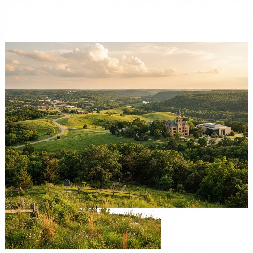
If you drive through the Cherokee Nation, you’ll see a landscape that shifts and breathes. In the east, you’ll find the Ozark foothills and the Cookson Hills—rugged, timbered terrain that offered a sense of home and protection to early Cherokee settlers. The Illinois River winds through the region, a lifeline for recreation and ecology, feeding into the deep, clear waters of Lake Tenkiller.
As you move west toward Nowata and Rogers counties, the trees thin out into rolling prairies. This transition zone is unique, offering a mix of hardwood forests and open ranch land. Today, these boundaries are even visible on modern tools like Google Maps, which now correctly outlines the Cherokee Nation reservation, reflecting the reality of tribal land status in the 21st century.
Life on the Reservation: Services and Governance
What does it mean for a citizen to live within the 14-county jurisdictional area? It means access to a self-governing society. The Cherokee Nation isn’t just a historical entity; it’s a multi-billion dollar economic engine and a primary service provider in the region. Within these boundaries, the tribe operates:
- Healthcare: The W.W. Hastings Hospital in Tahlequah is the cornerstone of one of the largest tribal health systems in the United States.
- Education: From early childhood programs to the Cherokee Immersion Charter School, the tribe invests heavily in the next generation. Check out our education resources for more information.
- Housing: Tribal programs help citizens secure safe, affordable housing within the jurisdictional area.
- Infrastructure: The Cherokee Nation maintains roads, provides water services, and invests in community centers.
- Tag Office: If you’re a resident citizen, you might see Cherokee Nation license plates—a visible sign of tribal sovereignty.
It is important to distinguish between the Reservation and the Jurisdictional Service Area. While the reservation is a legal land status, the jurisdictional area is the administrative boundary where the tribe primarily focuses its governmental services for its citizens. For more on how this relates to tribal identity, see our page on Cherokee citizenship.
The Three Cherokee Tribes
While the Cherokee Nation (based in Oklahoma) is the largest and manages the 14-county area, it is one of three federally recognized Cherokee tribes. Each has its own history and government:
- Cherokee Nation: Headquartered in Tahlequah, OK.
- Eastern Band of Cherokee Indians (EBCI): Headquartered in Cherokee, NC, on the Qualla Boundary.
- United Keetoowah Band of Cherokee Indians (UKB): Also headquartered in Tahlequah, OK.
Always remember that each is a sovereign government. You can learn more about the distinctions on our tribes overview page.
FAQ: Understanding the 14-County Area
Does the Cherokee Nation own all the land in the 14 counties?
No. While the entire 14-county area is legally considered the reservation, the land itself is a patchwork of tribal trust land, individual allotments, and fee-simple land owned by both Native and non-Native individuals. Tribal jurisdiction applies to certain legal matters, but it does not mean the tribe owns every acre.
Do I have to live in the 14 counties to be a Cherokee citizen?
No. You can be a citizen of the Cherokee Nation regardless of where you live in the world, provided you meet the enrollment criteria based on the Dawes Rolls. However, many tribal services (like healthcare at tribal clinics) are localized within the 14-county area. Visit our final rolls search page to start your research.
What changed after the McGirt decision?
The primary change is in criminal law. The State of Oklahoma no longer has the authority to prosecute crimes involving Native Americans within the reservation boundaries. These cases are now handled by tribal or federal courts. It has also sparked ongoing discussions regarding taxation and civil regulation, which are currently being navigated between the Tribe and the State.
How can I find out if I am within the Cherokee Nation boundaries?
You can check official maps on the Cherokee Nation official website or look for the reservation boundaries now clearly marked on Google Maps and other major mapping services.
Where to Go From Here
Understanding the 14-county jurisdictional area is just the first step in connecting with Cherokee heritage and current affairs. If you want to dive deeper, here are your next steps:
- Research Your Ancestry: If you believe you have Cherokee heritage, your journey begins with the Dawes Rolls.
- Visit Tahlequah: Experience the capital. Visit the Cherokee National Prison Museum or the Heritage Center to see sovereignty in action.
- Stay Informed: Follow the legal developments regarding the McGirt decision and how it continues to shape Oklahoma law.
- Explore Official Sources: For the most accurate legal and enrollment data, visit Cherokee.org or the National Archives.
The Cherokee Nation 14-county jurisdictional area is more than just a line on a map. It is a living, breathing sanctuary of culture and law, a place where a resilient people continue to write their own story. Whether you are a citizen, a neighbor, or a student of history, respecting this land means respecting the sovereignty that defines it.
Last reviewed: July 2026
Osiyo.net is an independently operated information platform. Always verify enrollment information directly with the specific Tribal Nation.